


6,4 km | 7,5 km-effort

Gebruiker GUIDE


Gratisgps-wandelapplicatie
 SityTrail
IGN / Geografische instituten
SityTrail World
De wereld gaat voor u open
Tocht Stappen van 7,3 km beschikbaar op Wallonië, Henegouwen, Les Bons Villers. Deze tocht wordt voorgesteld door pascalou73.
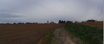
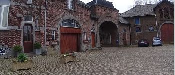
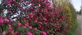
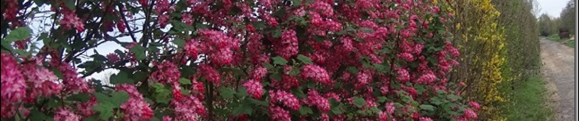
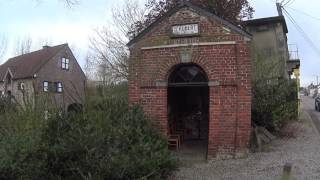
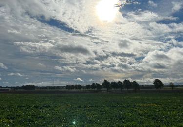
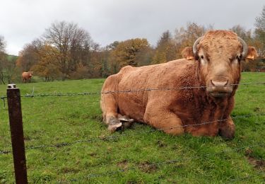
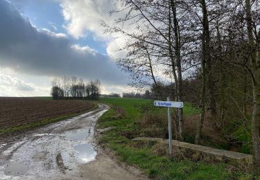
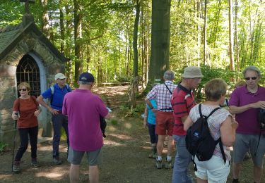
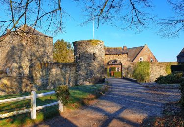
Une belle rando dans le pays de Geminiacum .Une rando à travers champs .entre château du 18e et 19e et une belle arbre et le passage de Napoléon pour Waterloo.
 - Photo 2")
 - Photo 3")
 - Photo 4")

Stappen

Stappen
Stappen
Stappen
Stappen

Te voet
Stappen
Stappen
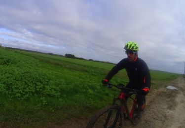
Mountainbike
tres bien en pleine campagne